A Look at This Evening's Model Runs - Major Snow For Upper Midwest Possible
November 8, 2014
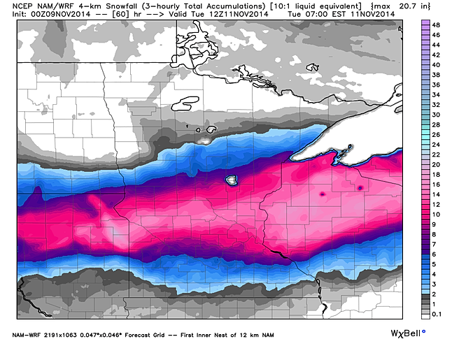
I want to start off by showing you snowfall accumulations that the hires NAM and GFS are showing. Tonight's run of the hires 4km NAM has 6+" of snow falling from the Dakotas toWisconsin where Winter Storm Watches and Winter Storm Warnings are in effect.
The GFS isn't as extreme with totals other than the fact that it has central/northern Wisconsin getting most of the snow which is similar to the hires NAM.
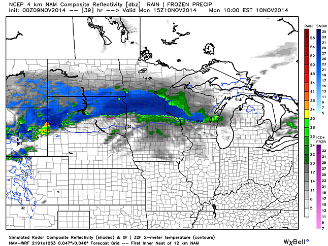
Snow will likely be falling Monday morning across the upper Midwest region.
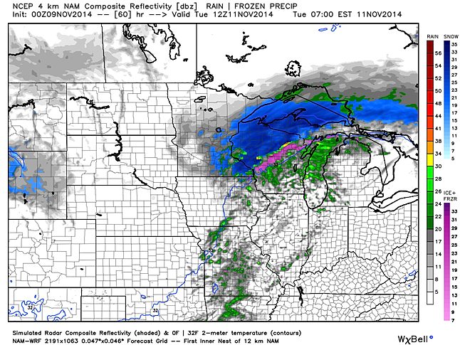
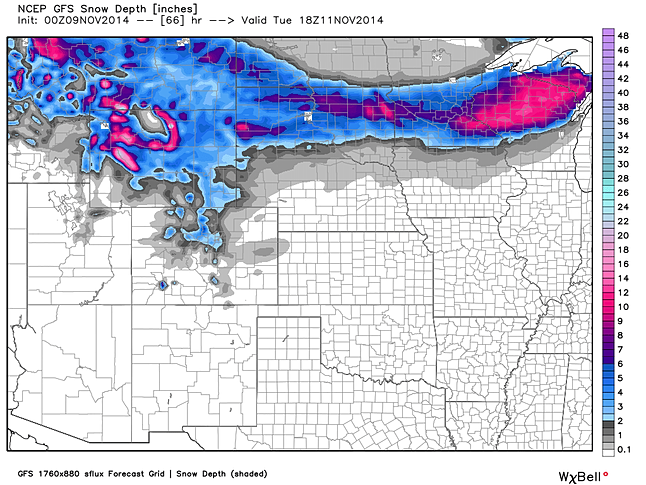
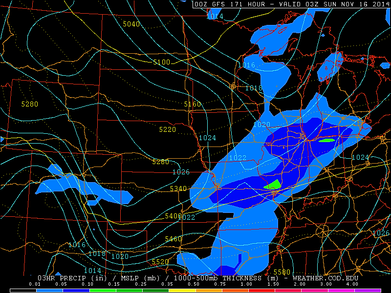
By Tuesday morning the bulk of the snow will likely be over the Wisconsin region where we could be seeing some isolated showers across the St. Louis area as the cold front moves through the area.
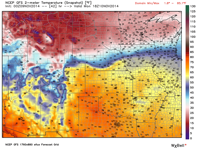
There will be quite the temperature contrast across the Midwest region Monday. St. Louis is expected to get well into the 60s Monday so make sure you can get outside for a while as temperatures will be turning cold mid to late week!
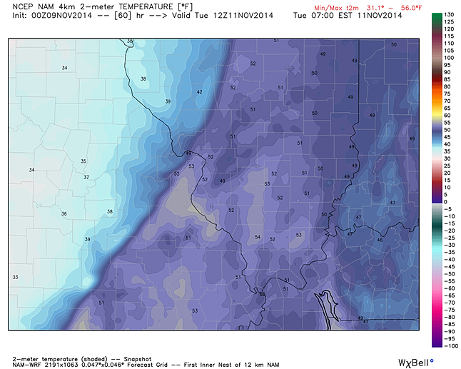
A cold front will be pushing through the area Tuesday morning bringing much colder air behind it! Note how the hires 4km NAM has St. Louis in the low 50s Tuesday morning, but places like Kirksville could be in the low 30s at the same time! Either way, our best chance of light rain will be as the cold front moves through.
As far as next weekend goes, the evening run of the GFS is still showing the potential for a snow maker for the St. Louis area, but again it's too early to get into details about that potential system.

No comments:
Post a Comment